A town that sited itself on a fall
Lake Waukewan, held above the village
The lake is not scenery. It is stored energy, and the mill builders knew exactly what they had.
The head that made the site
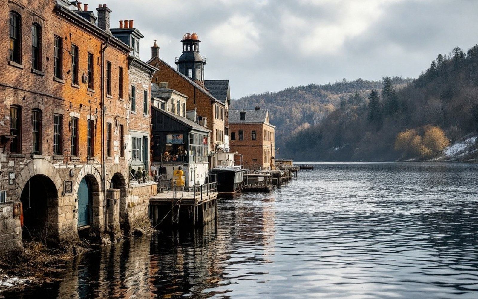
Lake Waukewan sits roughly forty feet above Meredith Bay, the sheltered arm of Lake Winnipesaukee ↗ into which the village drains. That vertical difference — the head of water — is what determined where Meredith would be built. The lake is a natural reservoir, fed by the watershed to its north and held by a glacial basin whose bedrock lip at the south end became the town's founding fact. Water wanting to reach the bay had to cross that lip, and wherever water drops, a wheel can be set.
The drop is modest by the standards of the great New England textile rivers, but it is dependable. Waukewan does not flash and retreat with the season the way a hill stream does; it holds volume through dry summers because its basin is wide and its catchment substantial. That steadiness was worth more to a mill operator than sheer height. A wheel that runs nine months is more useful than one that runs three at twice the speed.
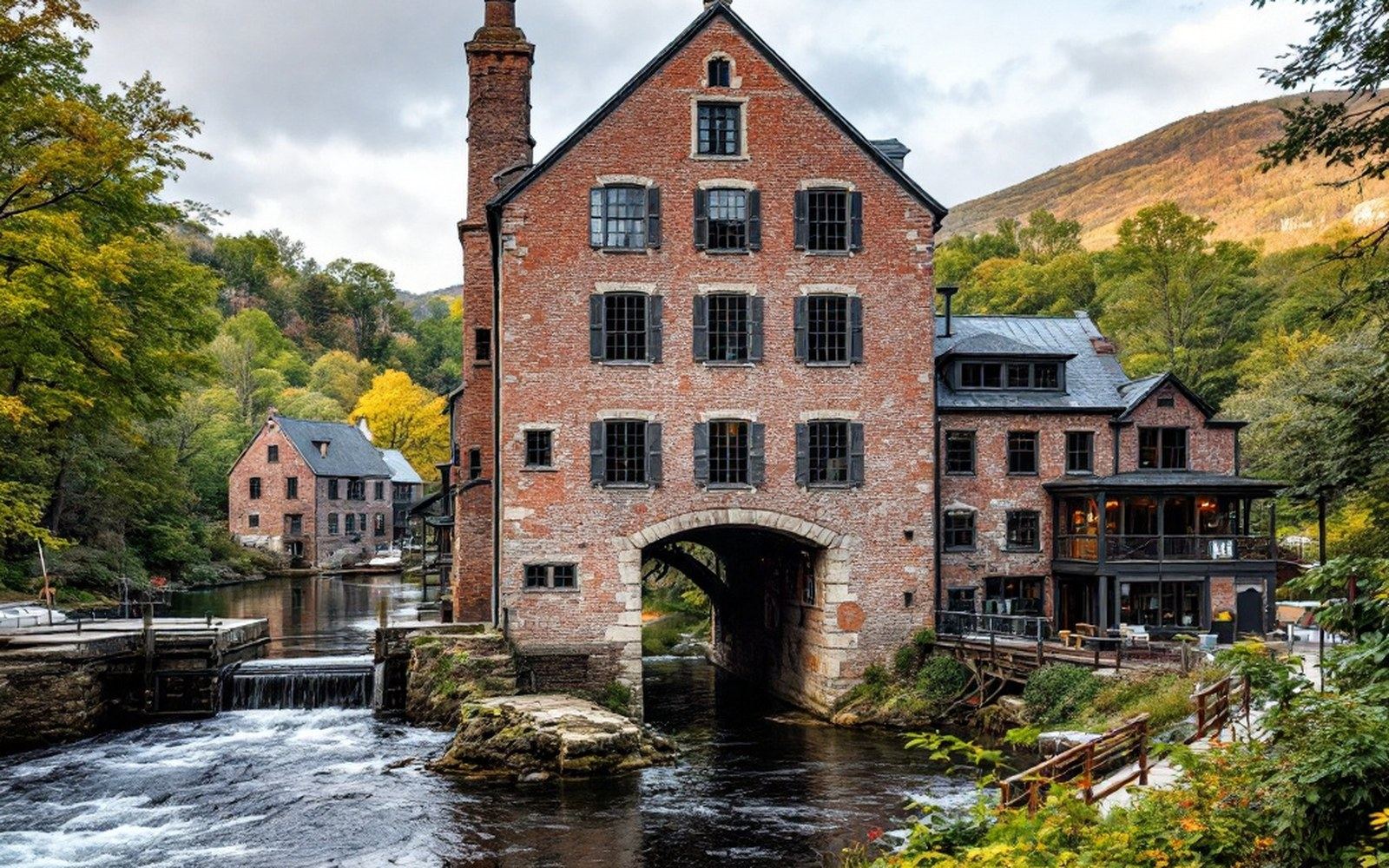
The outlet was controlled by sluice gates at the head of the fall, which let operators manage the release and maintain pressure through dry spells. The lake level itself became a managed thing — the difference between the water surface and the wheel pit below was the engine, and keeping that difference stable was the first discipline of industrial life in the village.
Geologically, Waukewan occupies a depression scoured by the last glacial advance, its shores irregular where the ice dragged and dropped material unevenly. The New Hampshire Geological Survey records the Winnipesaukee basin and its tributary lakes as products of that same glaciation — an archipelago of basins left when the ice sheet finally retreated, each one tilted toward its outlet by the underlying bedrock structure. Waukewan's tilt happens to drain south, which put its energy directly above the village that would claim it.
Key measures
What the lake provided, then, was not water in the ordinary sense but potential — a gravitational account that could be drawn on whenever a wheel needed turning. The village below was, in the most literal terms, downstream of its own reason for existing. Remove the elevation difference and there is no fall, no wheel pit, no mill block, no town of any particular consequence at this bend in the shore.
The U.S. Geological Survey topographic record ↗ for the Meredith quadrangle still shows the contour lines bunching at the outlet, the land stepping down in the space of a few hundred feet — the same step the first mill builders read before they poured a footing.
Chronology anchor
- Glaciationretreat of the Laurentide ice sheet shaped the basin; dated broadly to the end of the last glacial period
- Mill developmentsluice gate control of the lake level followed settlement of the outlet site