A town that sited itself on a fall
A town that sited itself on a fall, then sold the lake
The drop from Waukewan to the bay made Meredith. The railroad made it something else entirely.
The logic of the fall
A town does not choose its site arbitrarily. Meredith's centre sits where it does because Lake Waukewan lies roughly sixty feet above Meredith Bay, and at one narrow point that elevation sheds itself over a short enough run to be captured, directed and put to work. That geometry — water held high, released in a controlled column, recovered below — is the founding condition of the place. Everything built in the centre of town is either a consequence of that drop or an accommodation to it.
The mechanics are straightforward. Waukewan, a glacial basin resting in the hills northwest of the village, drains naturally toward the lower lake. The outlet stream falls steeply enough that a modest dam across it creates a substantial head of water — the pressure difference between the pond above and the wheel below that determines how much work the falling water can do. Millers understood head of water as a fixed quantity of potential: the higher the dam, the greater the head, and the more shafts and stones a single stream could turn. At Meredith the natural topography supplied what engineers elsewhere had to excavate. The site was, in the language of the mill-site surveyor, already made.
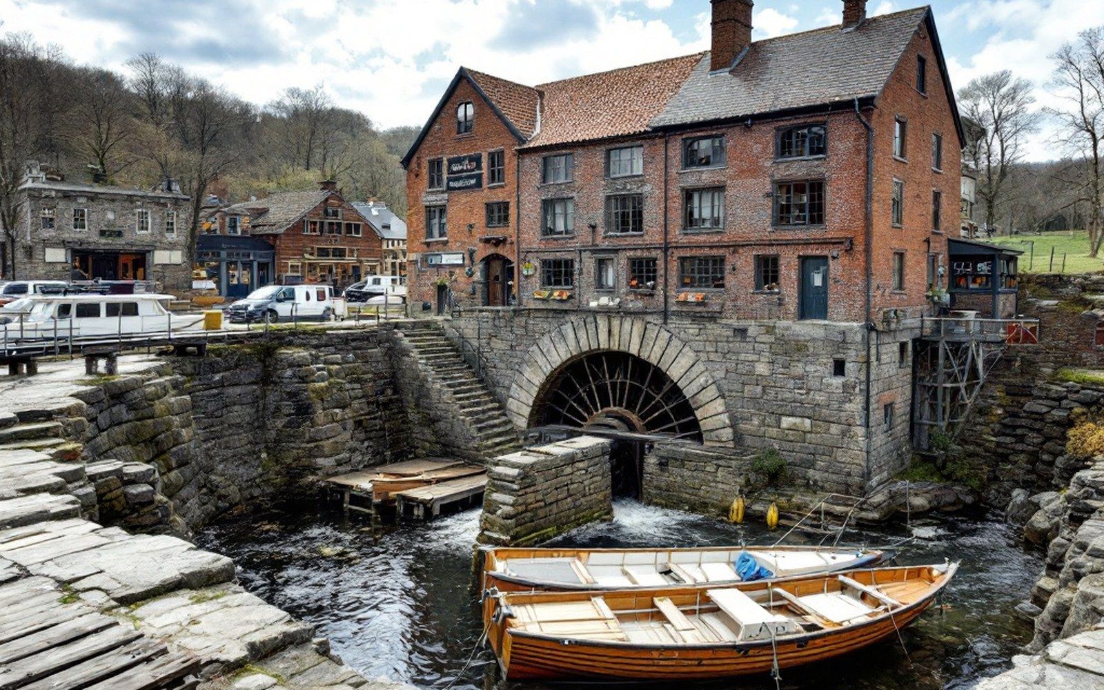
The channel was cut and the wheel pit — the masonry vault that houses the waterwheel and directs flow onto its blades — was set into the streambed in the early nineteenth century. A sluice gate upstream controlled the volume entering the race; close it and the wheel stopped, open it and the mill ran. That stonework survives, and it records the original engineering with more precision than any deed description. The dimensions of the pit, the angle of the infall, the depth of the tailrace below — all of it is still legible to anyone who reads cut granite rather than documents.
What the drop built
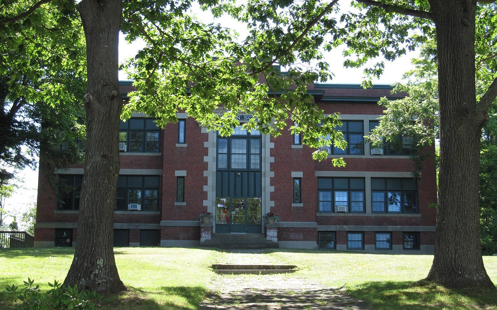
The mill block that rose along the channel was not a single structure put up in a single campaign. It accumulated bay by bay as demand grew: first a saw operation converting timber from the surrounding hills, then a grist function serving the farming settlements that spread back from the lake shore, then textile production as the regional economy shifted from subsistence to manufacture. The mill block as it stands is six bays wide, which is a fact about machinery spacing as much as architecture. Each bay corresponds to a shaft position, and each shaft position reflects the waterwheel's capacity to drive it. The proportions of the building were set not by a builder's aesthetic preference but by the physics of the fall.
Chronology
- Early 19th centurywheel pit and channel established; saw and grist milling begins
- Early–mid 1800slinen and wool processing documented in town records
- 1848Boston, Concord and Montreal Railroad reaches Meredith; resort economy begins
- 1870s onwardsteamers connect Meredith wharf to the wider Winnipesaukee lake system
- Early 20th centurymanufacturing declines; watercourse becomes secondary to visitor trade
What the water actually powered changed across the century. Linen and wool processing are documented in town records from the early and middle decades of the 1800s, and smaller specialty trades — a turning mill, a shingle operation — appear in later ledgers as the dominant textile production began to face competition from larger southern mills. The pattern is common to New England mill villages: the water never stopped falling, but the trade it served kept shifting, and each shift left a different set of equipment bolted to the same line shafting.
The physical centre of town organized itself around the mill's operating needs. A mill bay — the area immediately downstream where finished goods were loaded and raw material unloaded — occupied the flat ground between the wheel pit and the lake shore. Warehousing followed the bay. The road grid bent to serve the loading points rather than running on any ideal geometry. Even today, the street pattern near the water carries the memory of that functional logic: angles that make no sense as civic planning make perfect sense as mill logistics.
When the railroad arrived and the lake became the product
The Boston, Concord and Montreal Railroad reached Meredith in 1848, and the town's relationship to the lake inverted almost immediately. Before the railroad, the lake was a working resource — a surface for log drives, a source of ice, a transport corridor for goods that could not move over winter roads. The fall was the point; the lake was peripheral to it. After 1848, the lake became the destination and the fall became, by degrees, a piece of local history rather than the engine of local economy.
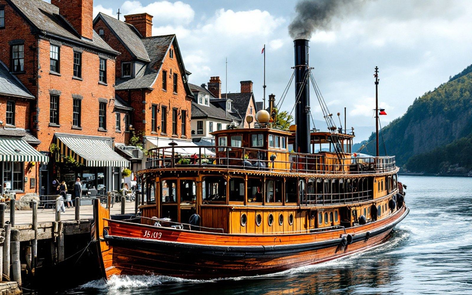
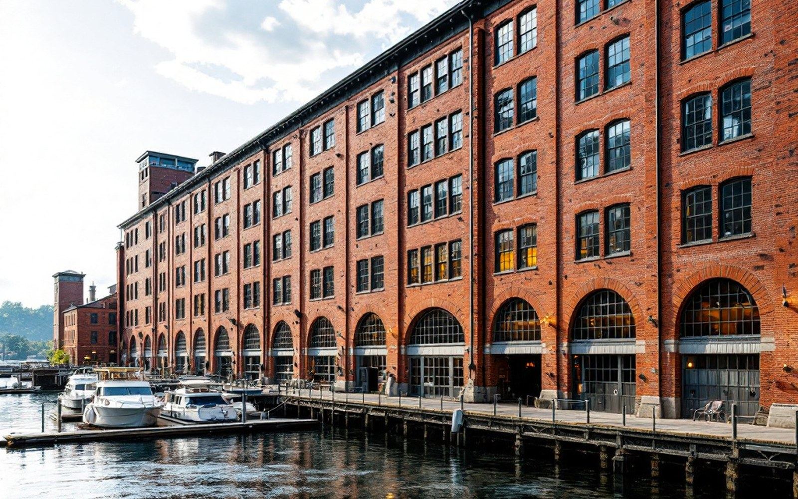
What the railroad delivered was summer visitors in quantities that overland travel had made impossible. The steamer Mount Washington, which had begun working Winnipesaukee's waters in the 1870s, connected Meredith's new rail-served wharf to the rest of the lake system. A passenger arriving by train could transfer directly to a steamer and reach Bear Island or any of the two hundred and fifty-three islands scattered across the glacial basin without touching a road again. The infrastructure that had moved wool and lumber now moved tourists, and the architecture of the town responded. Hotels replaced warehouses along the bay. The street-facing elevations of commercial buildings were dressed up in ways that mill-town fronts had never needed to be.
Key measures
The mills did not close overnight. For several decades the two economies ran alongside each other — the wheel still turning, the summer trade growing — but the capital that might have modernized the manufacturing operation found better returns in accommodation and retail. By the early twentieth century the watercourse that had made Meredith possible was more historical curiosity than productive asset. The channel still runs beneath the centre of town, but what it moves through now is a landscape built for visitors rather than production.
None of that erases the original logic. The fall is still there: Waukewan still sits above the bay, the gradient is unchanged, and a sufficient head of water still passes through the old race. What changed is not the physics but the economy that decided what to do with them. Meredith is a town that found its site because of a drop in elevation, built a manufacturing centre on the energy that drop released, and then, when a railroad made the lake more valuable as scenery than as a working surface, turned around and sold the view. The fall made the place; the lake sold it. Both facts are still written in the stonework and the street grid, for anyone reading the right language.