The channel still runs. What changed is what it runs through.
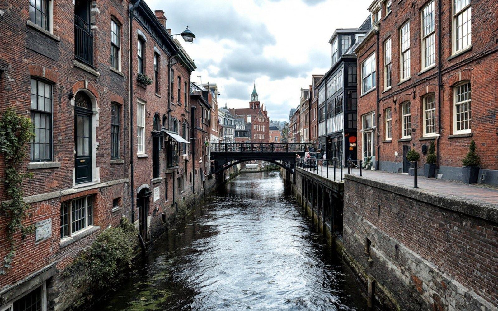
The watercourse beneath the changed town
The drop from Lake Waukewan to Meredith Bay is still there. The water still falls the same number of feet it fell when the first millwright drove stakes into the bank to mark where a wheel would turn. What changed is everything built around that fall — the function assigned to it, the structures channeling it, the economy reading it as an asset.
The original watercourse was cut for industrial purpose. Millwrights measured a site by head of water — the vertical distance between the source and the discharge point — and Meredith's head was good enough to justify the investment in a wheel pit, a sluice gate and the masonry to hold both in place against the pressure of a lake. That work is documented in town records through the early nineteenth century, when the brook running from Waukewan through the village centre was the reason the village existed at all. Wool, linen, smaller trades in succession — the brook threaded through each of them.
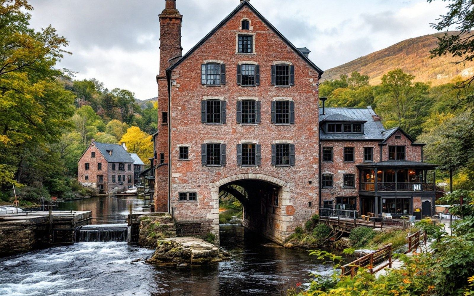
Repurposed, but not erased
By the late nineteenth century, the channel's character had already begun to shift. The branch line that reached Meredith brought summer visitors faster than it brought raw materials, and the calculus of the site changed. A watercourse that had been hidden inside a mill became a feature — something to walk beside rather than to work beside. The stonework that had once controlled water for production began to frame it for effect instead.
That reframing accelerated through the twentieth century. Meredith's mill block shrank as the manufacturing economy it was built to support contracted. Buildings were demolished or converted. The channel, having lost the machinery it once served, was directed instead through the spaces between structures built for retail, restaurants and visitor amenity. The water kept moving. It moved through a different logic.
Chronology
- Early nineteenth centurywatercourse cut and developed for milling, wool and linen trades recorded
- Late nineteenth centurybranch railroad shifts the town's economy toward summer visitors
- Twentieth centurymill block contracts; channel repurposed through converted and visitor-facing structures
- Presentchannel survives; stonework traces of wheel pit and sluice geometry still legible in bank
What is visible in the village centre today reflects that layered history without advertising it. Paved walks follow grades that are not arbitrary — they follow the fall. The water's sound is present in places where the channel runs close to the surface or passes under a narrow deck. The edges of the old mill bay area are legible in the way the land lies, in the slight drop from one level to the next that pedestrians cross without registering. A glacial basin was carved into this landscape by ice, and then a working town was built across it, and then that town was converted into something else, but the basin is still the basin, the drop is still the drop.
The structure underneath
Stone laid for industrial purposes is built to a different specification than stone laid for ornament, and some of what survives along the channel is clearly the former. Courses set for load-bearing, not for appearance. Sill stones recessed for gates that no longer hang in them. The geometry of a wheel pit requires a particular kind of pocket in the bank — a vertical face, a defined floor, a controlled throat above — and traces of that geometry persist in Meredith's waterway even where the wheel itself has been gone for more than a century.
Lake Winnipesaukee ↗, the larger glacial basin to the south and east, defines the town's present orientation; the lake is what draws summer traffic and has done since the railroad made the journey practical. But the channel running through the village centre is not the lake's water ↗ — it is Waukewan's, spilling from the smaller elevated basin down through the village in the same direction it always has. The two bodies of water occupy entirely different elevations. Waukewan sits above; Winnipesaukee receives the bay. The village occupies the fall between them, and the channel is the fall's mechanism.
Nothing about that mechanism has been dismantled. It has only been repurposed — first for industry, then for resort commerce, now for the ambient atmosphere of a place that wants to feel like it has water running through it, which it does, because it always did, for a more functional reason. The channel is original. The use is not.